NSW Rural Fire Service Incidents

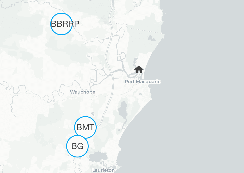
The NSW Rural Fire Service Incidents integration lets you integrate a GeoJSON feed provided by the NSW Rural Fire Service with information about bush fires, grass fires, hazard reductions and more. It retrieves incidents from a feed and shows information of those incidents filtered by distance to Home Assistant's location.

每次更新时都会自动生成、更新和删除实体。每个实体定义纬度和经度,并将自动显示在地图上。以公里为单位的距离可作为每个实体的状态。

例如,您可以使用实体的信息根据火灾事件的邻近程度和严重程度触发操作。您可以设置自动化来关闭窗户、启动洒水器或提醒自己在您所在区域发生火灾时清理排水沟。

数据每 5 分钟更新一次。

Configuration

To integrate the NSW Rural Fire Service Incidents feed, add the following lines to your configuration.yaml file. After changing the configuration.yaml file, restart Home Assistant to apply the changes. The integration is shown on the integrations page under Settings > Devices & services. Its entities are listed on the integration card itself and on the Entities tab.

# Example configuration.yaml entry
geo_location:
  - platform: nsw_rural_fire_service_feed
radius:
  description: The distance in kilometers around Home Assistant's coordinates in which incidents are included.
  required: false
  type: float
  default: 20.0
categories:
  description: List of incident category names found in the feed. Only incidents from the feed that match any of these categories are included. Valid categories are 'Emergency Warning', 'Watch and Act', 'Advice', 'Not Applicable'.
  required: false
  type: list
  default: None. Any incident regardless of its category will be included.
latitude:
  description: Latitude of the coordinates around which events are considered.
  required: false
  type: string
  default: Latitude defined in your `configuration.yaml`
longitude:
  description: Longitude of the coordinates around which events are considered.
  required: false
  type: string
  default: Longitude defined in your `configuration.yaml`

State Attributes

除了标准属性之外,每个实体还可以使用以下状态属性:

AttributeDescription
latitudeLatitude of the incident.
longitudeLongitude of the incident.
sourcensw_rural_fire_service_feed to be used in conjunction with geo_location automation trigger.
external_idThe external ID used in the feed to identify the incident in the feed.
categoryOne of 'Emergency Warning', 'Watch and Act', 'Advice', 'Not Applicable'.
locationLocation details of where the incident takes place.
publication_dateDate and time when this incident was last updated.
council_areaCouncil area in which this incident takes place.
statusOne of 'Under Control', 'Being Controlled', 'Out of Control'.
typeIncident type, for example 'Bush Fire', 'Grass Fire' or 'Hazard Reduction'.
fireTrue if this incident is a fire, False otherwise.
sizeSize in hectare
responsible_agencyAgency responsible for this incident.

高级配置示例

根据您关于丛林火灾风险的个人情况,您可能需要调整半径并定义您真正感兴趣的火灾警告类别。

# Example configuration.yaml entry
geo_location:
  - platform: nsw_rural_fire_service_feed
    entity_namespace: "nsw_fire_service_feed"
    radius: 10
    categories:
      - 'Emergency Warning'
      - 'Watch and Act'
      - 'Advice'