

GeoNet NZ Quakes
The GeoNet NZ Quakes integration lets you use a GeoJSON feed provided by New Zealand's GeoNet with information about quakes in the New Zealand region that happened within the last 7 days. It retrieves incidents from a feed and shows information of those incidents filtered by distance to Home Assistant's location.
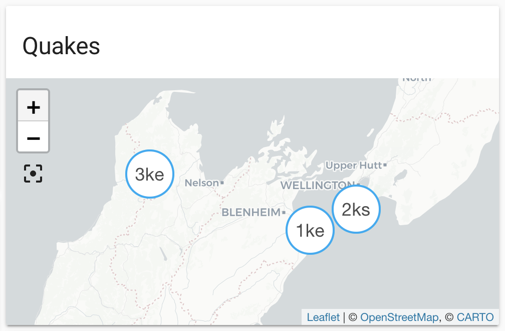
Entities are generated, updated and removed automatically with each update
from the feed. Each entity defines latitude and longitude and will be shown
on the default map automatically, or on a map card by defining the source
geonetnz_quakes. The distance is available as the state of each entity, and
converted to the unit (kilometers or miles) configured in Home Assistant.
The data is updated every 5 minutes.
The material used by this integration is provided under the Creative Commons Attribution 3.0 New Zealand (CC BY 3.0 NZ) license. It has only been modified for the purpose of presenting the material in Home Assistant. Please refer to the creator's disclaimer notice and data policy for more information.
We acknowledge the New Zealand GeoNet project and its sponsors EQC, GNS Science and LINZ, for providing data/images used in this integration.
::: :::note 配置 此集成可通过 UI 配置。前往 设置 > 设备与服务 添加。
State attributes
The following state attributes are available for each entity in addition to the standard ones:
Please note that the reported MMI may be lower than the minimum requested MMI. This integration is passing the requested MMI value to the feed source and displays all entries retrieved without further filtering by MMI.
Sensor
This integration automatically creates a sensor that shows how many entities are currently managed by this integration. In addition to that the sensor has some useful attributes that indicate the currentness of the data retrieved from the feed.
