
Global Disaster Alert and Coordination System (GDACS)
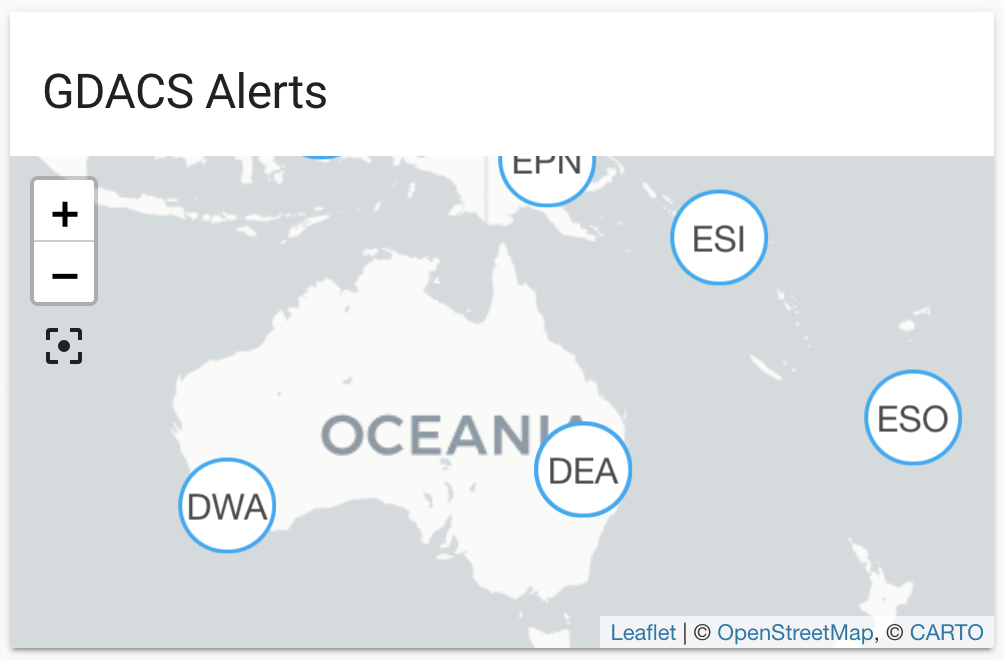
The GDACS integration lets you use a GeoRSS feed provided by GDACS with information about major droughts, earthquakes, floods, tropical cyclones, tsunamis and volcanic activities worldwide. It retrieves alerts from a feed and shows information of those alerts filtered by distance to Home Assistant's location. The filter is set in the configuration as categories, radius (kilometers or miles based on unit system set in Home Assistant), latitude and longitude.
Entities are generated, updated and removed automatically with each update from the feed. Each entity defines latitude and longitude and will be shown on the default map automatically, or on a map card by defining the source gdacs. The distance is available as the state of each entity converted to the configured unit system (kilometers or miles).
The data is updated every 5 minutes.
The material used by this integration is provided by the Global Disaster Alert and Coordination System (GDACS) - a cooperation framework between the United Nations and the European Commission - under the Creative Commons Attribution 4.0 International (CC BY 4.0) license. It has only been modified for the purpose of presenting the material in Home Assistant. Please refer to the creator's disclaimer and terms of use notice for more information.
::: :::note 配置 此集成可通过 UI 配置。前往 设置 > 设备与服务 添加。
State attributes
The following state attributes are available for each entity in addition to the standard ones:
Please note that some of the attribute values depend on the context and may not be comparable between different event types.
Sensor
This integration automatically creates a sensor that shows how many entities are currently managed by this integration. In addition to that the sensor has some useful attributes that indicate the currentness of the data retrieved from the feed.
